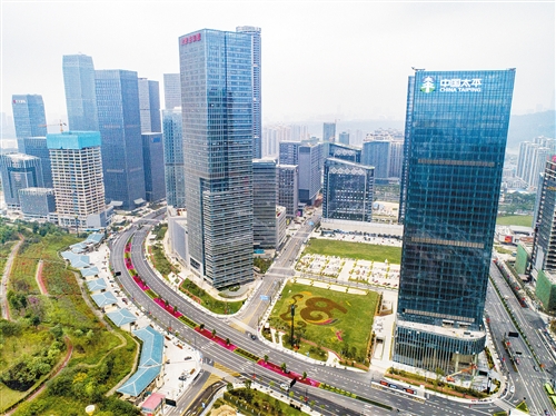


Nanning, the capital of Guangxi Zhuang Autonomous Region, is located in Southern Guangxi in the sub-tropical region between 107°19′ - 109°38′ East Longitude and 22°12′ - 24°2′ North Latitude With an area of 22,293 square kilometers, it is situated in the middle of Nanning Basin through which Yongjiang River runs. Nanning enjoys a favorable geographical location in Southwestern China, connecting the Indo-China Peninsula to the west and Guangdong Province, Hong Kong, Macao and Hainan Province to the east, making it not only an important economic center along the Beibu Gulf, but also a rapid growing gateway city to Southeast Asia in the southern and southwestern parts of China. The city is only 104, 173 and 204 kilometers respectively to the Ports of Qinzhou, Fangcheng and Beihai, and only 204 and 230 kilometers respectively to the cities of Dongxing and Pingxiang bordering Vietnam. Moreover, it is at both railways and Yongjiang River. Four key railways meet here, namely, Hunan-Guangxi Railway, Guizhou-Guangxi Railway, Litang-Zhanjiang Railway and Nanning-Kunming Railway, making the city an important hub in Southwestern China. The completion of the 2nd Phase Project of dredging Xijiang River enables thousand-ton ships to sail directly from Nanning to Hong Kong and Macao via the Yongjiang River, a branch of the Xijiang River. As an important gateway to Southeast Asia for Southwestern China, Nanning is a hub, a regional center and an opening city that plays an active role in the communication between China and ASEAN countries. It is becoming a new and booming economic zone and a hotspot for foreign investment in China. With its rapid urban development, Nanning attaches great important to improving natural environment and it enjoys the reputation of “the Green City of China” because of its best green coverage in the country.